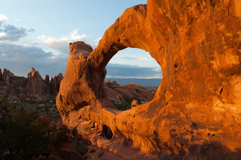
Some places change your perspective.
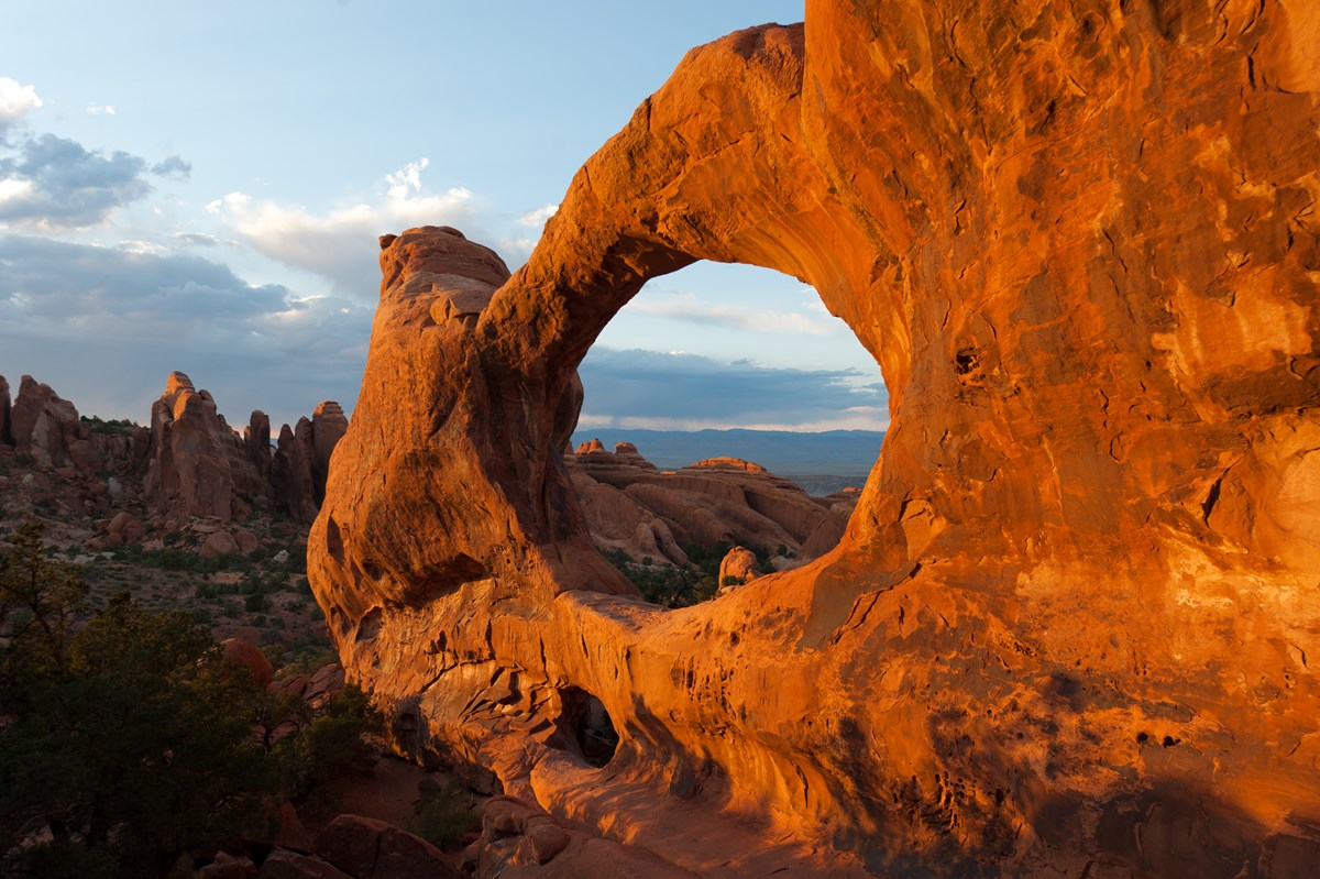
Over 2,000 natural sandstone arches.
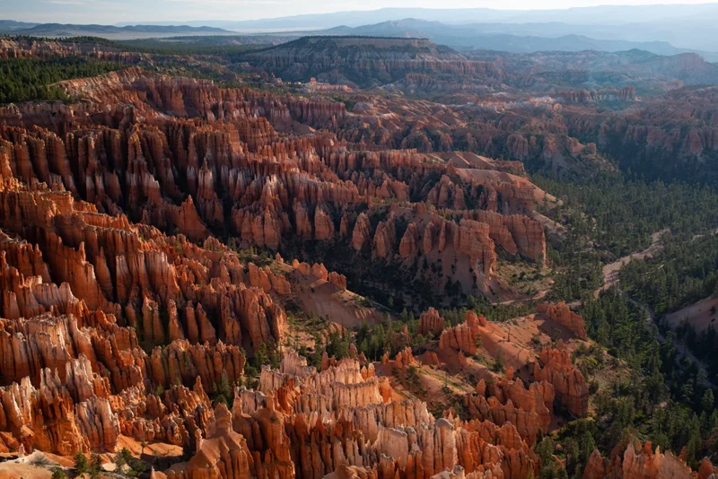
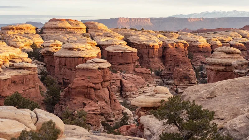
Discover a landscape of contrasting colors, land forms, and textures unlike any other. The park has over 2,000 natural stone arches, hundreds of soaring pinnacles, massive rock fins, and giant balanced rocks. This red-rock wonderland will amaze you with its formations, refresh you with its trails, and inspire you with its sunsets.
When to go
Arches is part of the Colorado Plateau, a "high desert" region that experiences wide temperature fluctuations, sometimes over 40 degrees in a single day. The temperate (and most popular) seasons are spring (April-May) and fall (mid-September-October), when daytime highs average 60 to 80 F and lows average 30 to 50 F. Summer temperatures often exceed 100 F, making strenuous exercise difficult. Winters are cold, with highs averaging 30 to 50 F, and lows averaging 0 to 20 F.
Getting there
Arches National Park is located in southeast Utah, five miles north of Moab on US 191. From Moab, Utah, drive five miles north on Main Street/US 191. Turn right at the stoplight. From Interstate 70, take exit 182 (Crescent Junction), then drive south 28 miles on US 191. Turn left at the stoplight.
Park information: National Park Service. Check the official page for current conditions, closures and reservations before you travel.
Before you head out
Start with the official park guide for trip planning, accessibility, reservations and current conditions. Availability and requirements can change throughout the year.
Plan your visit with NPS