Some places change your perspective.
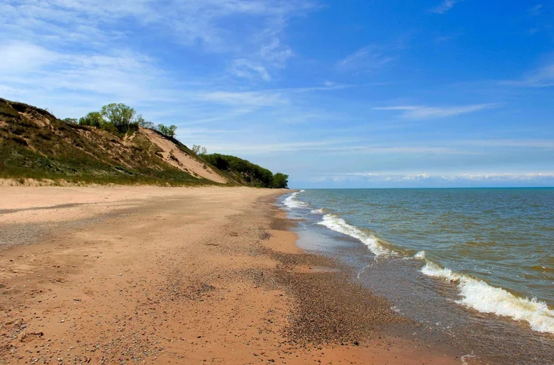
Sand dunes and beaches along Lake Michigan.
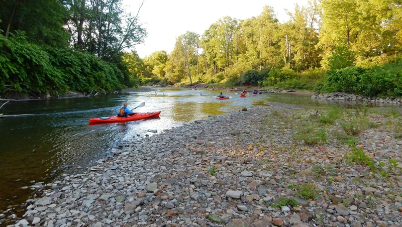
Lake Michigan's might has influenced Indiana Dunes for millennia. Wind and waves have shaped the land, leaving a rich mosaic of habitats along these 15 miles of Indiana coast. Over 50 miles of trails lead through shifting sand dunes, quiet woodlands, sunny prairies and lush wetlands. Known for its striking plant and bird diversity, it's easy to find inspiration throughout the park’s 16,000 acres.
When to go
On average, the warmest month is July and the highest recorded temperature was 105F in 1934. The coolest month is January, with the lowest recorded temperature of -25F in 1985. June sees the most precipitation with an average rainfall of 4.66 Inches.
Getting there
Visitors can access the national park via Interstate 94, the Indiana Toll Road (Interstate 80/90), U.S. Highway 12, U.S. Highway 20, Indiana State Road 49, and various other local roads. The Indiana Dunes Visitor Center is located on Indiana State Road 49, between U.S. Highway 20 and Interstate 94 (1215 IN-49, Porter, IN 46304). For a driving map to the Indiana Dunes Visitor Center or other locations, check out our maps page.
Park information: National Park Service. Check the official page for current conditions, closures and reservations before you travel.
Before you head out
Start with the official park guide for trip planning, accessibility, reservations and current conditions. Availability and requirements can change throughout the year.
Plan your visit with NPS