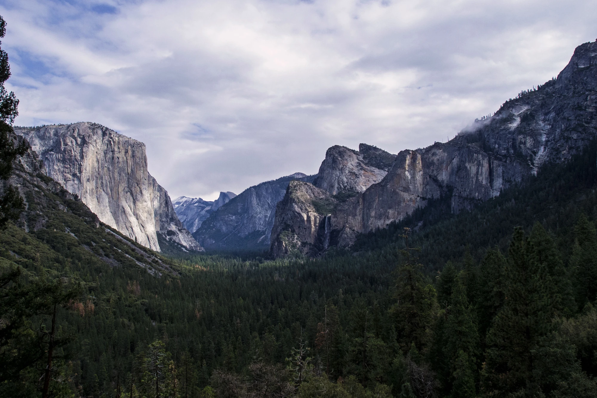
Some places change your perspective.
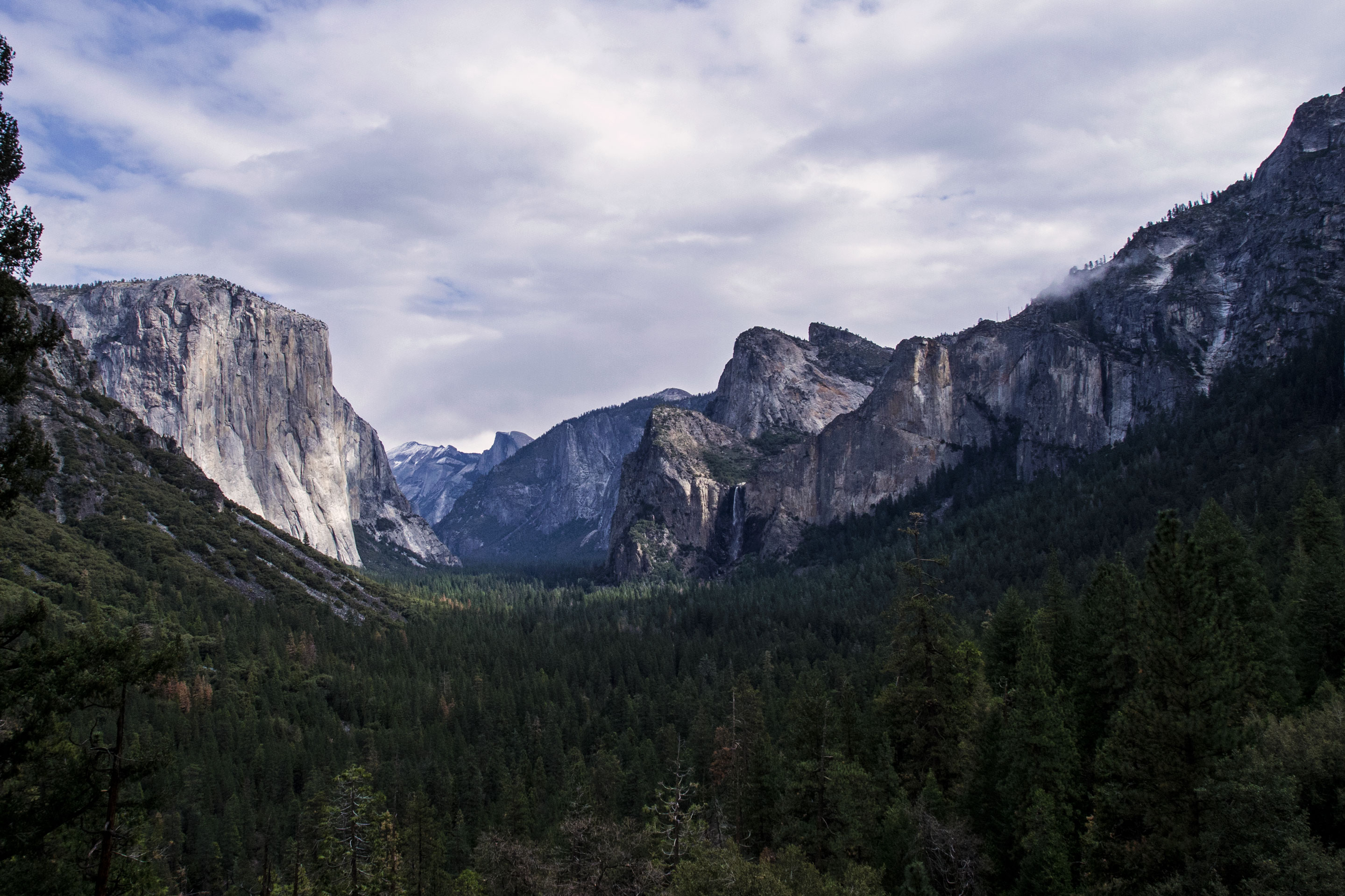
Granite cliffs, waterfalls and giant sequoias.
Not just a great valley, but a shrine to human foresight, the strength of granite, the power of glaciers, the persistence of life, and the tranquility of the High Sierra. First protected in 1864, Yosemite National Park is best known for its waterfalls, but within its nearly 1,200 square miles, you can find deep valleys, grand meadows, ancient giant sequoias, a vast wilderness area, and much more.
When to go
Yosemite National Park covers nearly 1,200 square miles (3,100 square km) in the Sierra Nevada, with elevations ranging from about 2,000 feet (600 m) to 13,000 ft (4,000 m). Yosemite receives 95% of its precipitation between October and May (and over 75% between November and March). Most of Yosemite is blanketed in snow from about November through May. (Yosemite Valley can be rainy or snowy in any given winter storm.)
Getting there
You can drive to Yosemite year-round and enter via Highways 41, 140, and 120 from the west. Tioga Pass Entrance (via Highway 120 from the east) is closed from approximately November through late May or June. Hetch Hetchy is open all year but may close intermittently due to snow. Please note that GPS units do not always provide accurate directions to or within Yosemite.
Park information: National Park Service. Check the official page for current conditions, closures and reservations before you travel.
Before you head out
Start with the official park guide for trip planning, accessibility, reservations and current conditions. Availability and requirements can change throughout the year.
Plan your visit with NPS